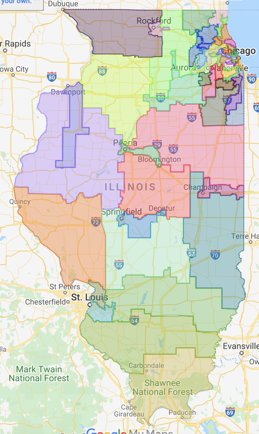
Governor JB Pritzker on Friday signed new legislative district maps Democrats pushed through the General Assembly a week ago — maps Democrats approved on partisan lines over objections from community advocacy organizations, self-styled government reform groups and Republicans.
“Illinois’ strength is in our diversity, and these maps help to ensure that communities that have been left out and left behind have fair representation in our government,” Pritzker said in a statement. “These district boundaries align with both the federal and state Voting Rights Acts, which help to ensure our diverse communities have electoral power and fair representation.”
The new maps are meant to take effect in 2023, though lawmakers will run in the new district boundaries for elections next year. Democrats last week wrapped a months-long process with dozens of hearings — though most were sparsely attended either in person or over Zoom — with community advocacy groups focused on areas of the state from Chicago to southern Illinois.
But those same community advocacy organizations begged Democrats to delay the mapmaking process until Illinois gets official 2020 Census data, expected in August due to COVID-related delays. The majority party instead forged ahead with aggregated data from the Census Bureau’s American Community Survey, plus feedback from those 50 or so meetings this spring and voter data.
Republicans and government reform organizations this spring joined with community groups asking for Democrats to wait for official Census data. But the the GOP also had extra incentive for a delay beyond June 30th — a 50/50 shot at controlling the hyper-partisan redistricting process after an appointed panel of mapmakers would inevitably deadlock.
But that path is no longer an option now that Pritzker’s signature is on the legislation containing the new district boundaries. However, litigation over the maps from community advocacy organizations is widely expected, and if courts find Democrats’ use of non-Census data in drawing the maps either resulted in mal-apportionment or otherwise isolated the state or federal Voting Rights Acts, the district lines could be adjusted with court supervision.
Otherwise, Democrats may revisit the boundary lines after Census data is published in August.


